Aller au contenu

Cartes

Cartes de Romorantin-Lanthenay

Portrait cartographique de Romorantin-Lanthenay : relief, eau, forêts, bâti et voies
Portrait calculé d'après la BD TOPO et le RGE ALTI de l'IGN · échelle 5 km

Couche par couche

Romorantin-Lanthenay en six cartes
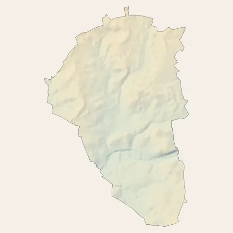
Romorantin-Lanthenay : relief
Reliefde 82 à 120 m
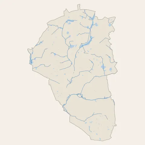
Romorantin-Lanthenay : eau
Eau61 km de cours d'eau
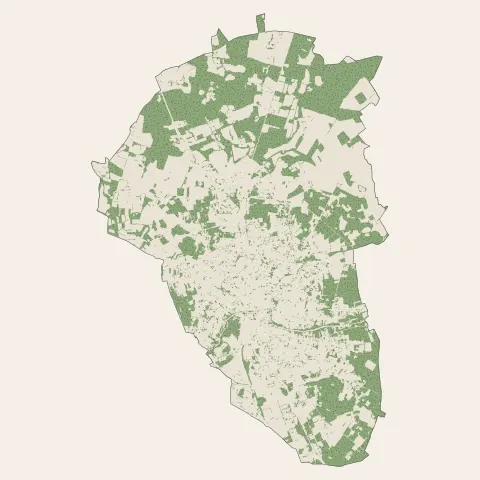
Romorantin-Lanthenay : bois, forêts et landes
Bois, forêts et landes39 % du territoire
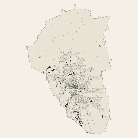
Romorantin-Lanthenay : bâti
Bâti17 734 bâtiments
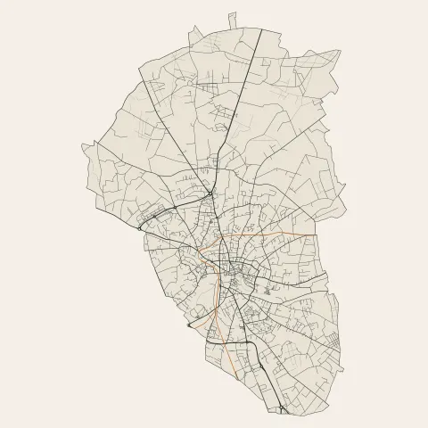
Romorantin-Lanthenay : voies
Voies342 km de routes et de rues
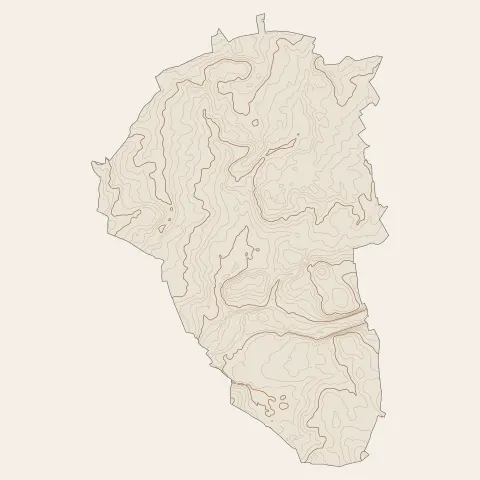
Romorantin-Lanthenay : courbes de niveau
Courbes de niveautous les 2 m

Hier et aujourd'hui

La même vue du ciel de Romorantin-Lanthenay

Le centre
Romorantin-Lanthenay aujourd'hui, le centre vu du cielRomorantin-Lanthenay en 1955, le centre vu du ciel, au même cadrage
Sources et crédits
  • Portrait et six cartes : calculés par 123-fr d'après la BD TOPO et le RGE ALTI de l'IGN, Licence Ouverte
  • Hier et aujourd'hui : IGN, BD ORTHO Historique (mission 1955_F 2022-2322_P_25000, 14 avr. 1955) et BD ORTHO, Licence Ouverte