- France
- Isère
- Veyssilieu
- Puits communal

À voir autour
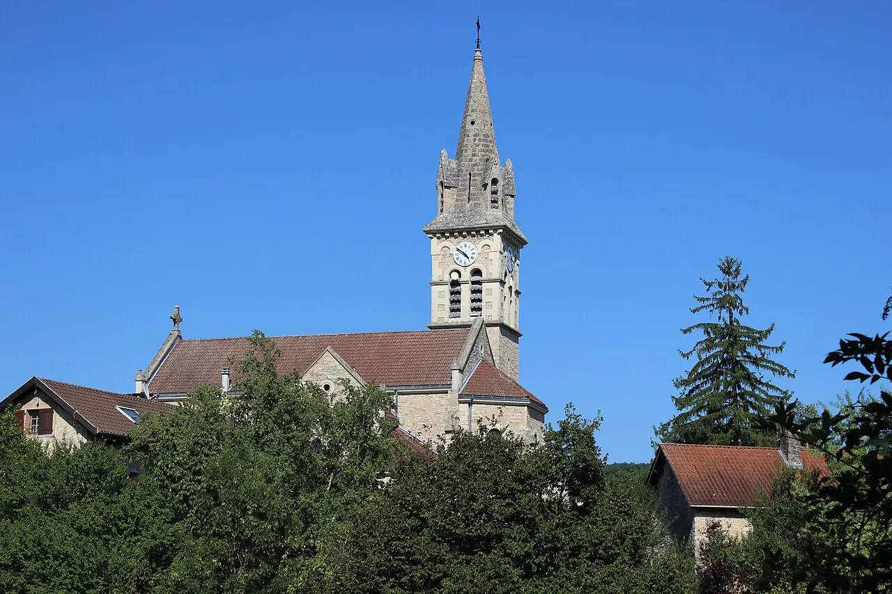
Église paroissiale Saint-Hilaire
Édifice religieux · à 60 m
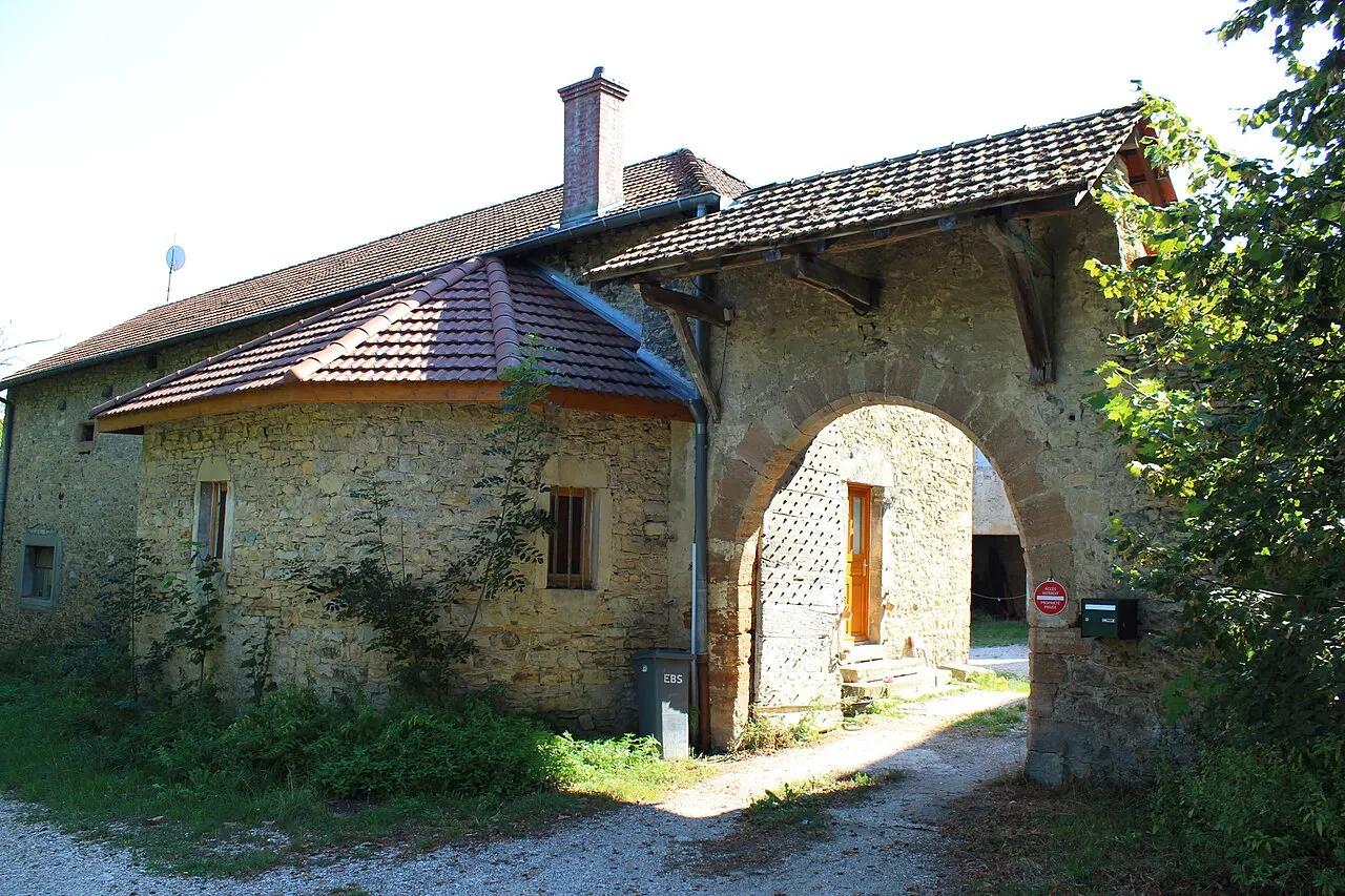
Château de Veyssilieu
Château · à 100 m

Chapelle Notre-Dame-de-la-Salette
Édifice religieux · à 680 m
Bibliothèque de Panossas
Patrimoine · à 1,2 km
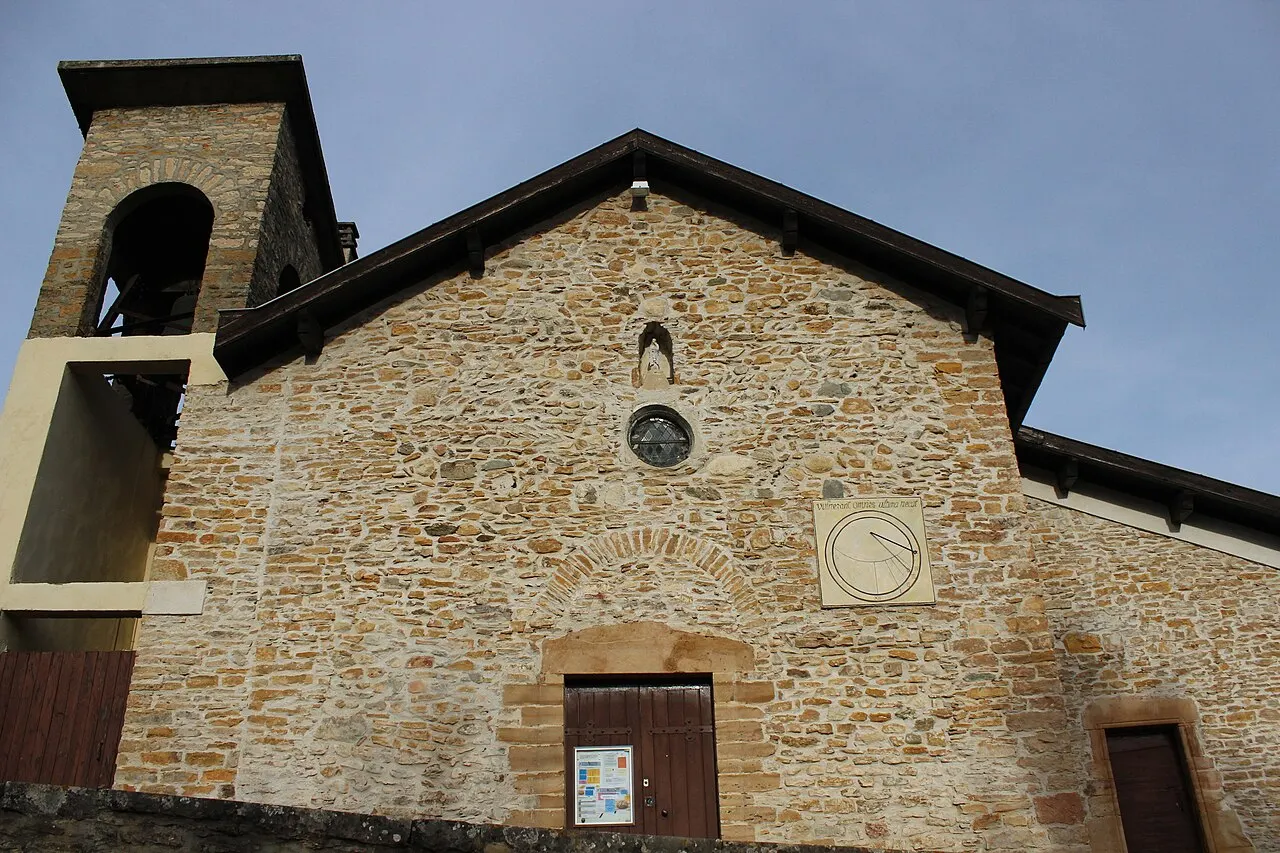
Église Saint-Martin
Édifice religieux · à 1,2 km

Parcours pédestre sur le sentier d’interprétation de la tourbière de Charamel
Loisirs · à 1,2 km
Sources et crédits
Données
- Nom : OpenStreetMap (n6588360965).
- Position : OpenStreetMap (n6588360965).
- Type : OpenStreetMap (n6588360965).
- Site : OpenStreetMap (n6588360965).
- Visite : OpenStreetMap (n6588360965).
- Lieux et horaires : OpenStreetMap (© les contributeurs d'OpenStreetMap, ODbL), DATAtourisme, Mérimée, Wikidata. Contour de la commune : IGN, Licence Ouverte.
À savoir
- Horaires et tarifs ne sont pas vérifiés par 123-fr : voyez le site du lieu avant de partir.
Photos
- This picture belongs to Xavier Caré. Please credit : Xavier Caré / Wikimedia Commons / CC-BY-SA. If you would like special permission to use, license, or purchase the image please contact me to negotiate terms. I'd appreciate if you could let me know about it or mail me ( xavier.carepm.me) if you want to use this picture out of the Wikimedia project scope., CC BY-SA 4.0, Wikimedia Commons (Veyssilieu - Église depuis le château).
- This picture belongs to Xavier Caré. Please credit : Xavier Caré / Wikimedia Commons / CC-BY-SA. If you would like special permission to use, license, or purchase the image please contact me to negotiate terms. I'd appreciate if you could let me know about it or mail me ( xavier.carepm.me) if you want to use this picture out of the Wikimedia project scope., CC BY-SA 4.0, Wikimedia Commons (Veyssilieu - Entrée château).
- This picture belongs to Xavier Caré. Please credit : Xavier Caré / Wikimedia Commons / CC-BY-SA. If you would like special permission to use, license, or purchase the image please contact me to negotiate terms. I'd appreciate if you could let me know about it or mail me ( xavier.carepm.me) if you want to use this picture out of the Wikimedia project scope., CC BY-SA 4.0, Wikimedia Commons (Panossas - Église paroissiale Saint-Martin-002).


