
À voir autour
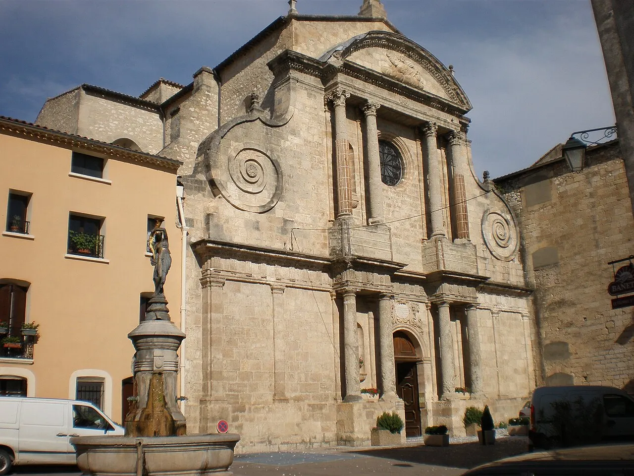
Abbatiale Saint-Sauveur d’Aniane
Édifice religieux · à 220 m
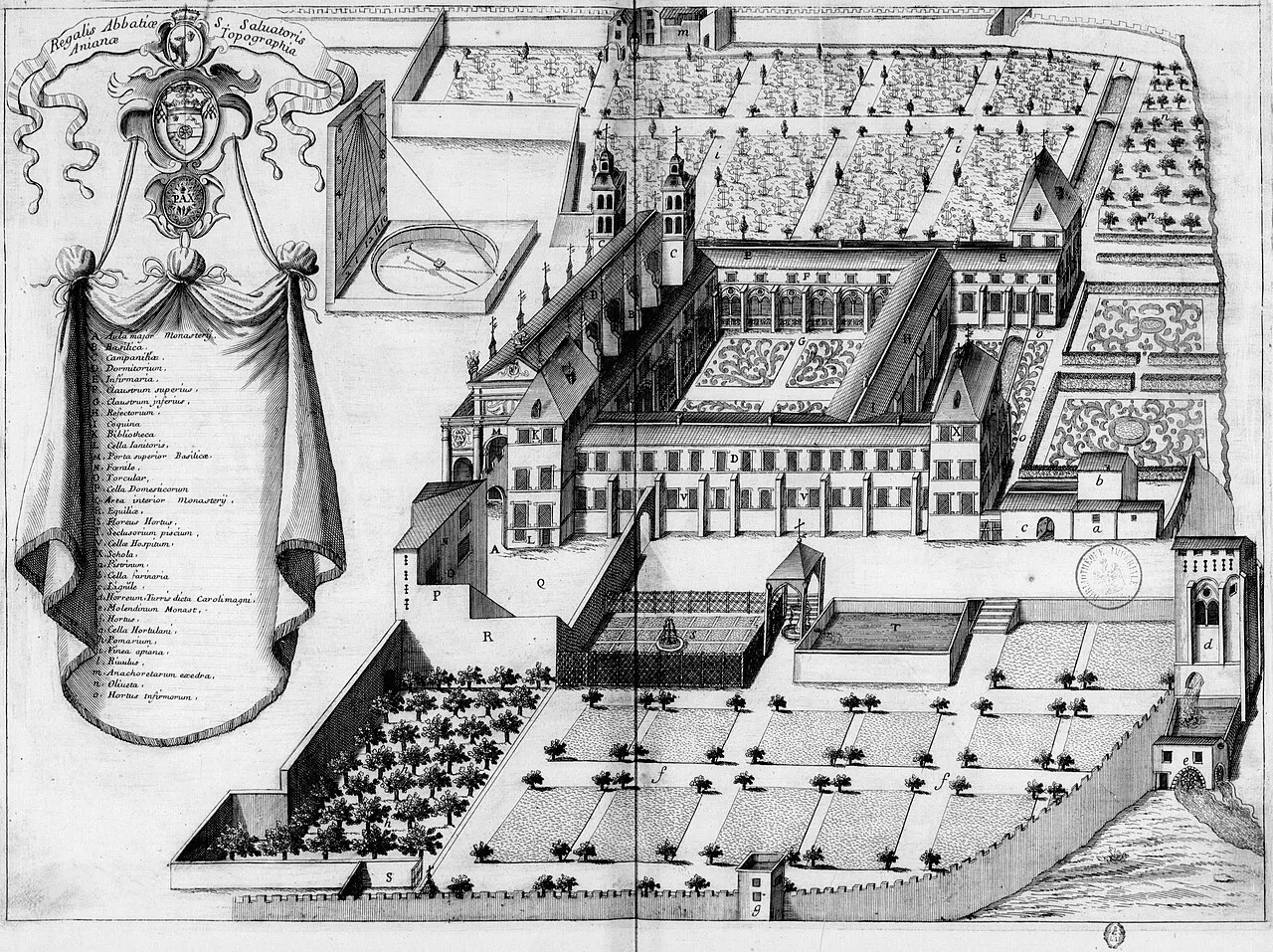
Jardin de l’Abbaye d’Aniane
Parc et jardin · à 250 m
Parc de la Brèche
Parc et jardin · à 260 m
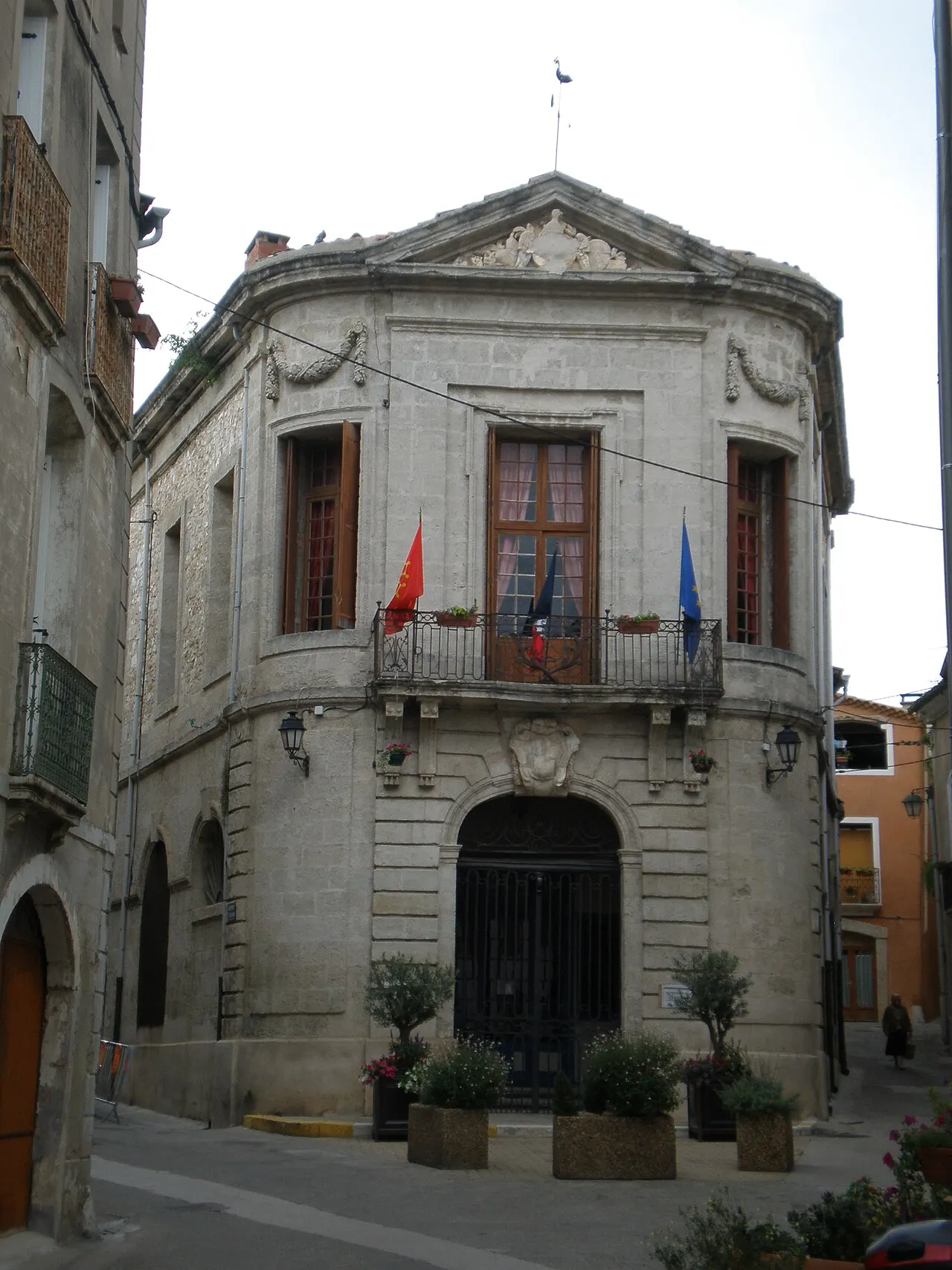
Hôtel de ville
Patrimoine · à 310 m
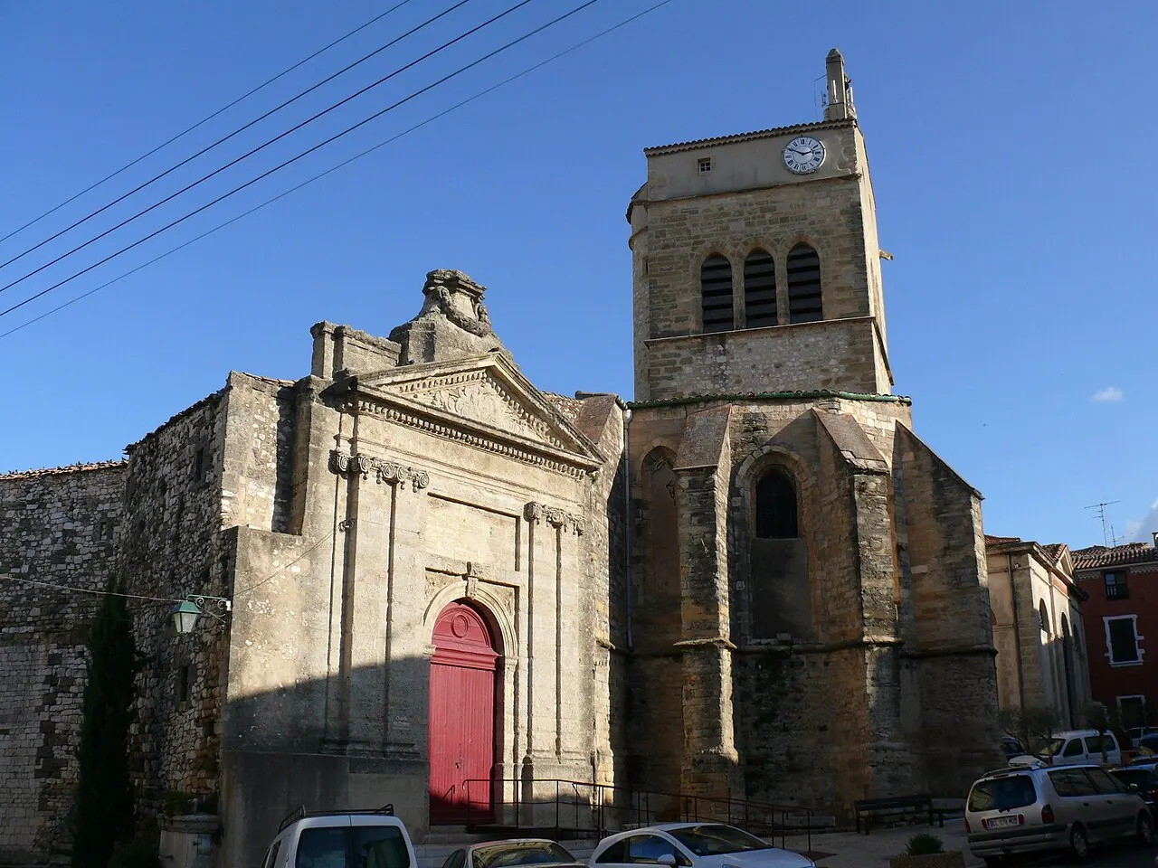
Chapelle des Pénitents
Culture · à 370 m

Bibliotheque d’Aniane
Patrimoine · à 370 m
Sources et crédits
Données
- Nom : OpenStreetMap (w122394081).
- Position : OpenStreetMap (w122394081).
- Type : OpenStreetMap (w122394081).
- Visite : OpenStreetMap (w122394081).
- Lieux et horaires : OpenStreetMap (© les contributeurs d'OpenStreetMap, ODbL), DATAtourisme, Mérimée, Wikidata. Contour de la commune : IGN, Licence Ouverte.
À savoir
- Horaires et tarifs ne sont pas vérifiés par 123-fr : voyez le site du lieu avant de partir.
Photos
- Vpe, Public domain, Wikimedia Commons (Eglise d'Aniane).
- Michel Germain / Achille Peigné-Delacourt, Public domain, Wikimedia Commons (Abbaye Saint-Sauveur d'Aniane dans Monasticon Gallicanum).
- Vpe, Public domain, Wikimedia Commons (Mairie Aniane).
- This illustration was made by Peter Potrowl. Please credit this with : © Peter Potrowl in the immediate vicinity of the image. A link to my website sitemai.eu would be much appreciated but isn't mandatory. An email to Peter Potrowl would be appreciated too. Do not copy this image illegally by ignoring the terms of the license below, as it is not in the public domain. If you would like special perm, CC BY-SA 3.0, Wikimedia Commons (Aniane - Chapelle des Pénitents Blancs - 3).


