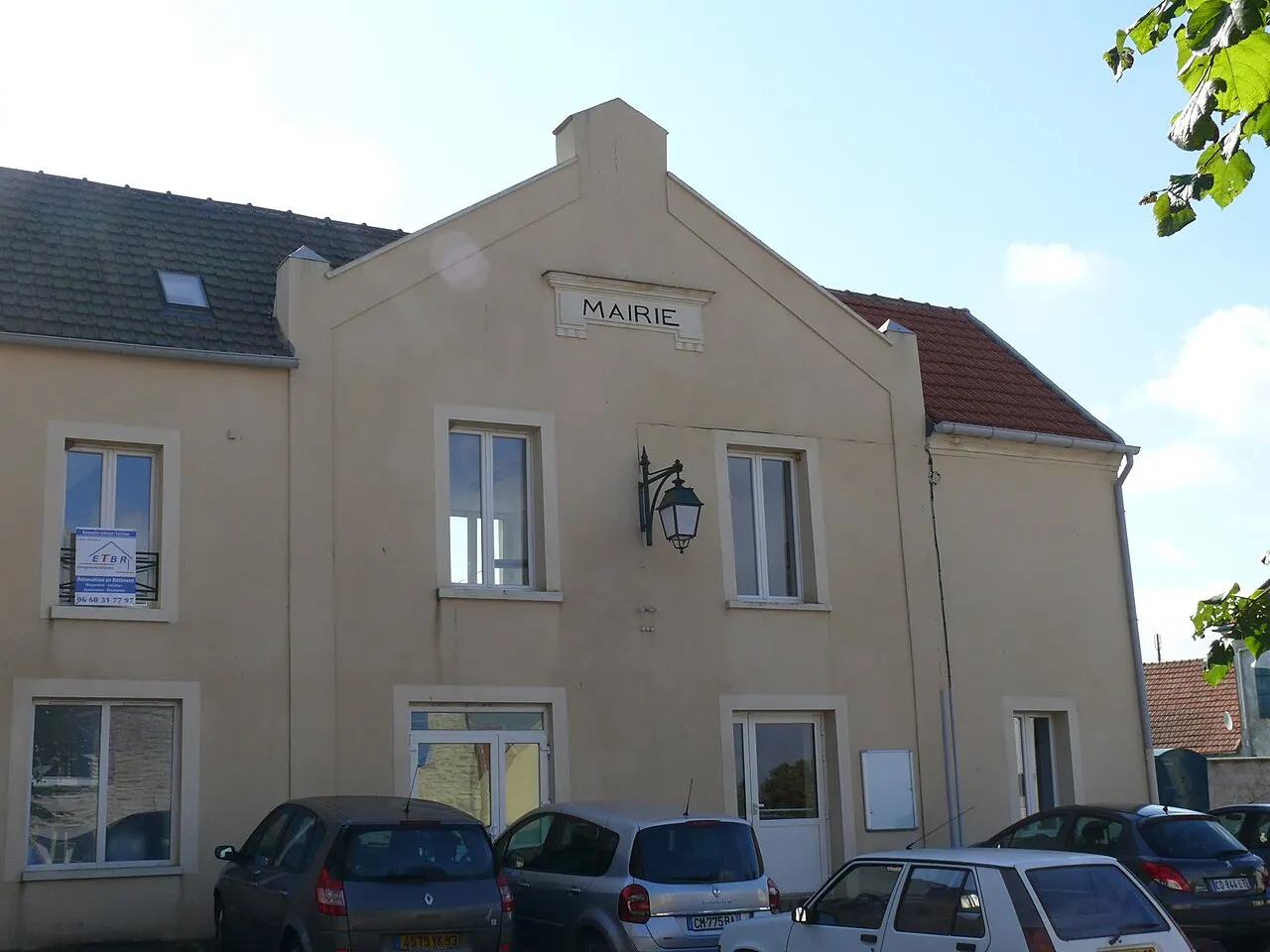
Le village
Oissery
Seine-et-Marne · Île-de-France · 2 496 habitants
2 496habitants
2lieux à découvrir
123 mle point le plus haut
Explorer par envie


À ne pas manquer
Classés par intérêt, parmi 2 lieux recensés


Découvrir Oissery
Commune de Seine-et-Marne, dans l'arrondissement de Meaux, membre de la communauté de communes Plaines et Monts de France. 2 496 habitants (population légale 2023) sur 15,2 km², soit 165 au km², de 81 à 123 m d'altitude.
Que faire
Cette semaine à Oissery
Nature
2zones naturelles d'intérêt (ZNIEFF)
Autour d'Oissery
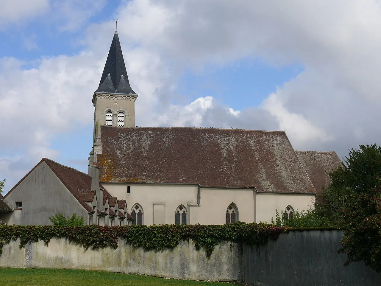
Saint-Pathus
À 2,0 km · 5 lieux
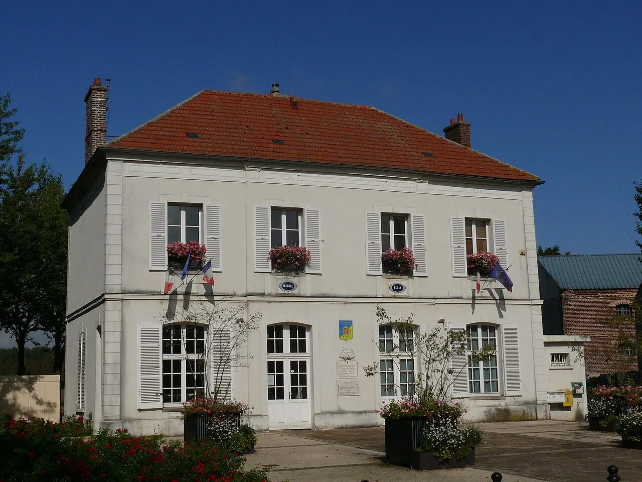
Forfry
À 2,4 km · 2 lieux
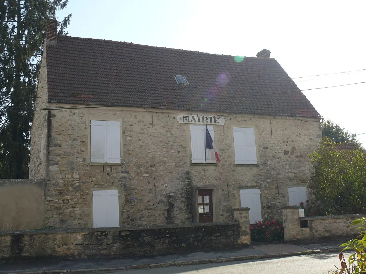
Ognes
À 3,2 km · 1 lieu
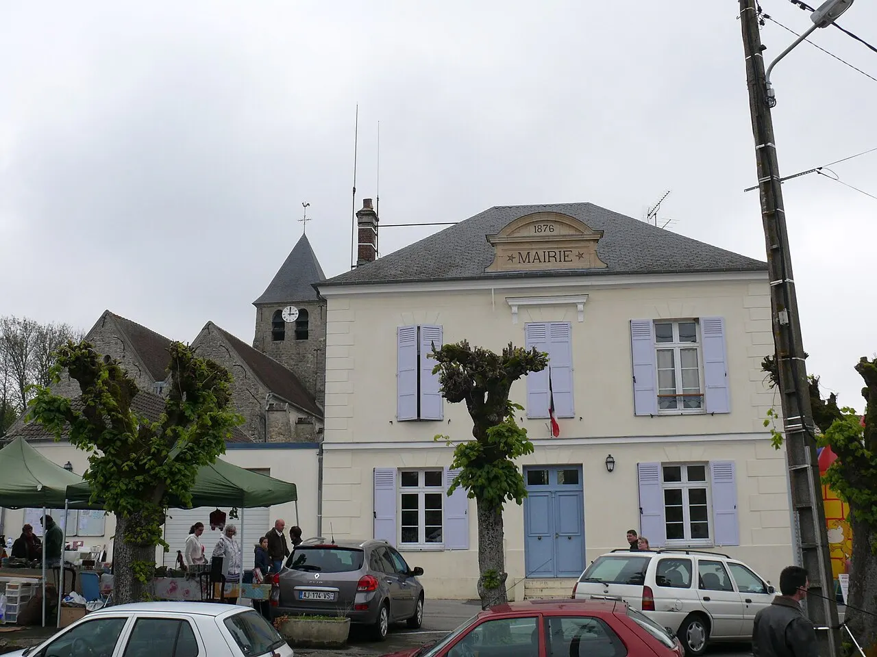
Brégy
À 3,6 km · 1 lieu
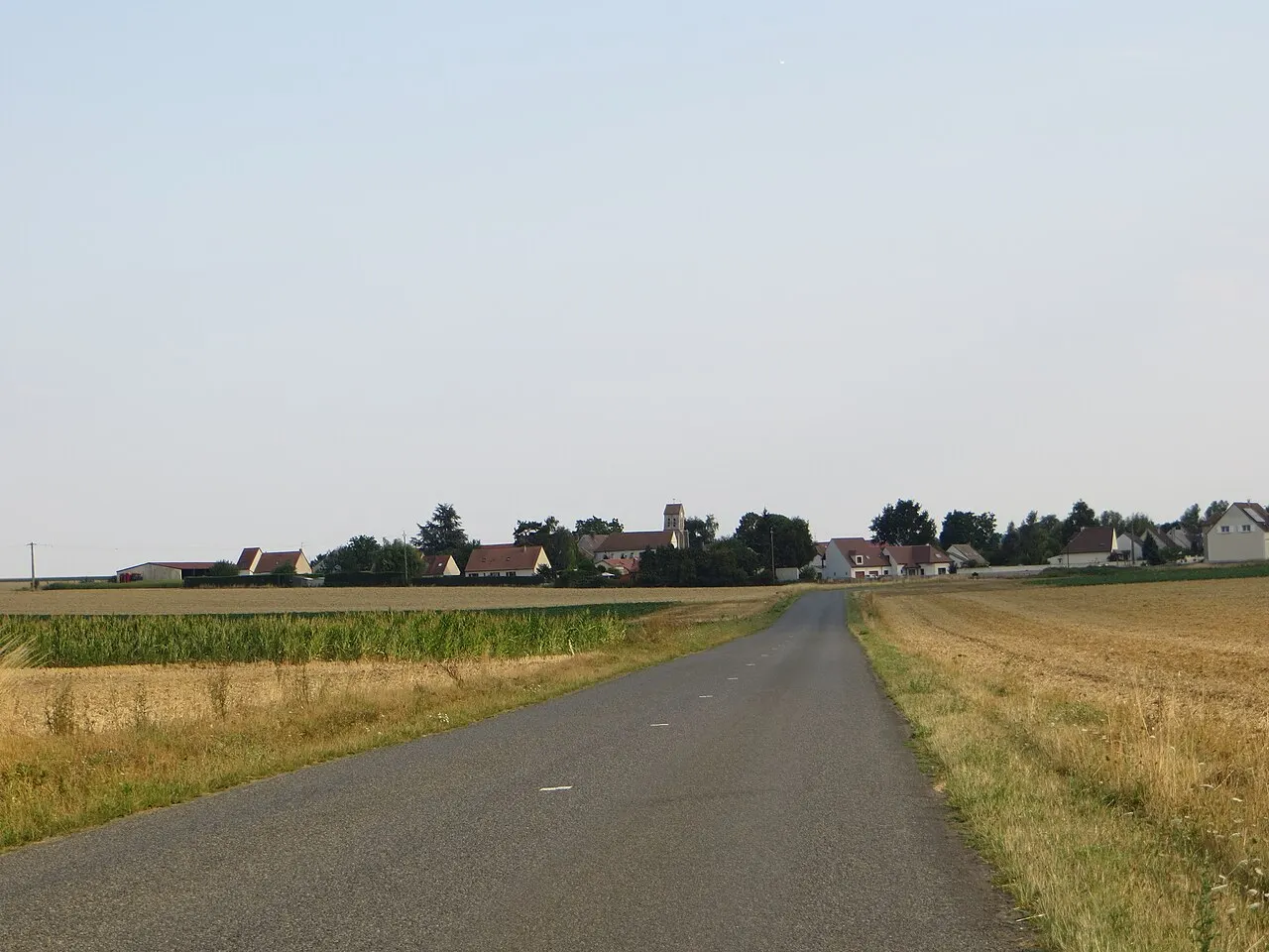
Gesvres-le-Chapitre
À 3,7 km · 1 lieu

Saint-Soupplets
À 3,8 km · 3 lieux
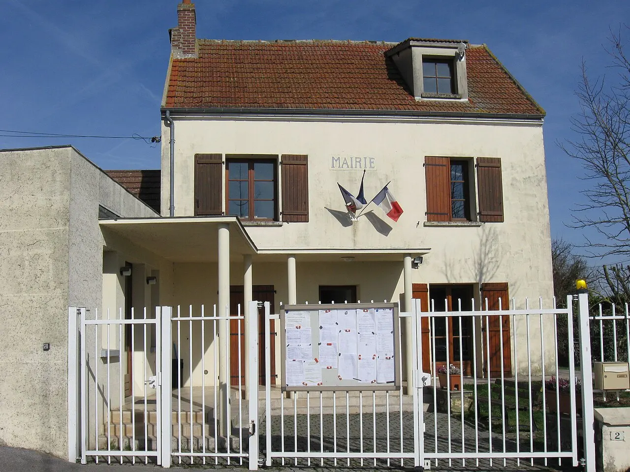
Douy-la-Ramée
À 4,4 km · 3 lieux
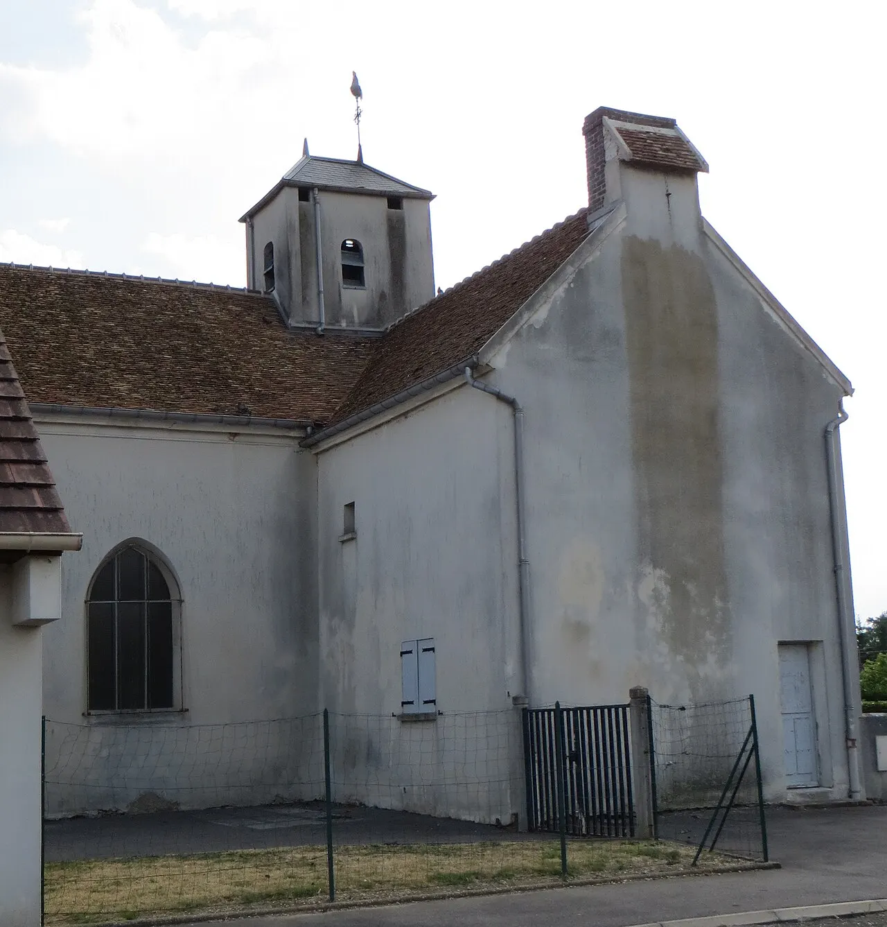
Marchémoret
À 4,5 km · 3 lieux
En chiffres
Comparé aux communes qui lui ressemblent
3,06
personnes par ménage
0 %
de résidences secondaires
25 %
de diplômés du supérieur
Vivre à Oissery
8équipements sportifs
100 %eau conforme (2025)
97,7 %locaux reliés à la fibre
14,2 €/m²loyer d'annonce par mois
474 €d'impôts locaux par habitant
Saveurs du terroir
- Brie de Meaux AOP
- Brie de Melun AOP
Y aller sans voiture
10,0 kmgare de Dammartin - Juilly - Saint-Mard
Questions fréquentes
Combien d'habitants compte Oissery ?
Oissery compte 2 496 habitants (population légale 2023), soit 165 habitants au km².
Quel est le code postal d'Oissery ?
Le code postal d'Oissery est 77178
Que voir à Oissery ?
Parmi les 2 lieux recensés : Église Saint-Germain-d’Auxerre, Médiathèque.
Sources et crédits
Données
- Lieux et tracés : OpenStreetMap (© les contributeurs d'OpenStreetMap, ODbL), DATAtourisme et ses producteurs (Licence Ouverte), base Mérimée, Wikidata.
- Cartes et affiches : calcul 123-fr d'après l'IGN (BD TOPO, RGE ALTI 5 m, Admin Express), Licence Ouverte. Population : INSEE.
- Comparaisons : INSEE, recensement 2022.
- Équipements sportifs : ministère des Sports, recensement des équipements sportifs (data.gouv.fr), Licence Ouverte.
- Eau du robinet : ministère de la Santé, contrôle sanitaire de l'eau (Hub'Eau, data.gouv.fr), Licence Ouverte.
- Fibre : ARCEP, « Ma connexion internet », Licence Ouverte.
- Loyers : ministère de la Transition écologique, carte des loyers d'annonce (data.gouv.fr), Licence Ouverte. Loyers d'annonces modélisés : ni bail en cours ni logement précis.
- Finances : DGFiP, comptes individuels des communes (data.economie.gouv.fr), Licence Ouverte.
- Produits d'origine protégée : INAO, données publiées sur data.gouv.fr (9 octobre 2025), Licence Ouverte. Dans l'aire ne veut pas dire fabriqué ici : seuls les cahiers des charges font foi.
- Sites naturels : MNHN / INPN (PatriNat), ZNIEFF 06/2025, Natura 2000 12/2024, Licence Ouverte.
- Trains : SNCF, horaires et gares de voyageurs (ODbL), calcul 123-fr.
- Mairie : annuaire de l'administration (DILA). Écoles : annuaire de l'Éducation nationale.
À savoir
- Horaires et tarifs ne sont pas vérifiés par 123-fr : voyez le site de chaque lieu avant de partir.
- Un monument protégé n'est pas toujours ouvert à la visite.
Photos
- This illustration was made by Peter Potrowl. Please credit this with : © Peter Potrowl in the immediate vicinity of the image. A link to my website sitemai.eu would be much appreciated but isn't mandatory. An email to Peter Potrowl would be appreciated too. Do not copy this image illegally by ignoring the terms of the license below, as it is not in the public domain. If you would like special perm, CC BY-SA 3.0, Wikimedia Commons (Oissery - Mairie).
- This illustration was made by Peter Potrowl. Please credit this with : © Peter Potrowl in the immediate vicinity of the image. A link to my website sitemai.eu would be much appreciated but isn't mandatory. An email to Peter Potrowl would be appreciated too. Do not copy this image illegally by ignoring the terms of the license below, as it is not in the public domain. If you would like special perm, CC BY-SA 3.0, Wikimedia Commons (Saint-Pathus - Église Saint-Pathus - 2).
- This illustration was made by Peter Potrowl. Please credit this with : © Peter Potrowl in the immediate vicinity of the image. A link to my website sitemai.eu would be much appreciated but isn't mandatory. An email to Peter Potrowl would be appreciated too. Do not copy this image illegally by ignoring the terms of the license below, as it is not in the public domain. If you would like special perm, CC BY-SA 3.0, Wikimedia Commons (Forfry - Mairie).
- This illustration was made by Peter Potrowl. Please credit this with : © Peter Potrowl in the immediate vicinity of the image. A link to my website sitemai.eu would be much appreciated but isn't mandatory. An email to Peter Potrowl would be appreciated too. Do not copy this image illegally by ignoring the terms of the license below, as it is not in the public domain. If you would like special perm, CC BY-SA 3.0, Wikimedia Commons (Ognes - Mairie).
- This illustration was made by Peter Potrowl. Please credit this with : © Peter Potrowl in the immediate vicinity of the image. A link to my website sitemai.eu would be much appreciated but isn't mandatory. An email to Peter Potrowl would be appreciated too. Do not copy this image illegally by ignoring the terms of the license below, as it is not in the public domain. If you would like special perm, CC BY-SA 3.0, Wikimedia Commons (Brégy - Mairie).
- Litlok, CC BY-SA 4.0, Wikimedia Commons (Gesvres-le-Chapitre).
- P.poschadel, CC BY-SA 3.0, Wikimedia Commons (Saint-Soupplets (77), mairie (ancien château de Maulny), allée du Château).
- Thor19, CC BY-SA 3.0, Wikimedia Commons (Douy-la-Ramée mairie).
- Litlok, CC BY-SA 4.0, Wikimedia Commons (Marchémoret - Église Notre-Dame-de-l'Assomption).


