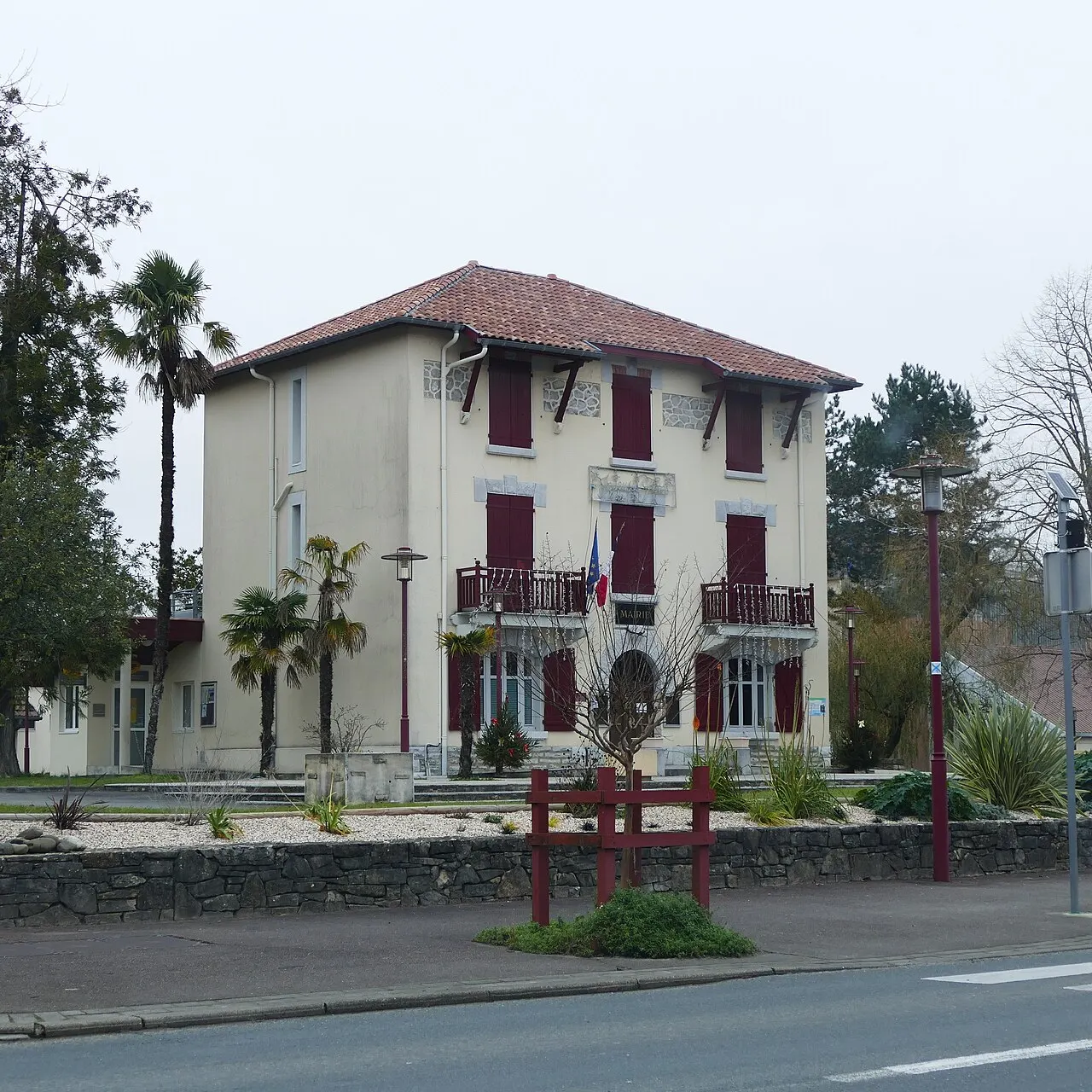
Explorer par envie


À ne pas manquer
Classés par intérêt, parmi 7 lieux recensés
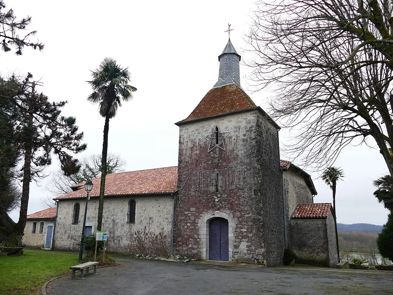
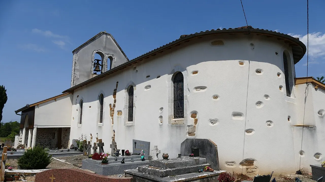
Église Saint-Romain
Église

Ganadéria Grenet
Patrimoine

Lac de Saint Cricq du Gave
Nature
Lac des Glès
Nature

Aire de Jeux & Snack
Loisirs

Médiathèque Labatut
Culture
Mur à gauche
Loisirs
Découvrir Labatut
Commune des Landes, dans l'arrondissement de Dax, membre de la communauté de communes Pays d'Orthe et Arrigans. 1 430 habitants (population légale 2023) sur 21,2 km², soit 67 au km², de 5 à 125 m d'altitude.
Que faire
Cette semaine à Labatut
Préparer ma visite
Combien de temps avez-vous ?
Visiter Labatut en 2 heures
1 h 33dont 13 min de marche · 0,7 km
- 1Église Saint-Romain20 min sur place
- 2 min à pied · 100 m2Médiathèque Labatut30 min sur place
- 11 min à pied · 640 m3Lac des Glès30 min sur place
Visiter Labatut en une demi-journée
3 h 31dont 41 min de marche · 2,3 km
- 1Église Saint-Romain20 min sur place
- 2 min à pied · 100 m2Médiathèque Labatut30 min sur place
- 11 min à pied · 640 m3Lac des Glès30 min sur place
- 1 min à pied · 40 m4Aire de Jeux & Snack1 h sur place
- 27 min à pied · 1 560 m5Lac de Saint Cricq du Gave30 min sur place
Visiter Labatut en une journée
5 h 12dont 1 h 22 de marche · 4,7 km
- 1Église Saint-Romain20 min sur place
- 2 min à pied · 100 m2Médiathèque Labatut30 min sur place
- 11 min à pied · 640 m3Lac des Glès30 min sur place
- 1 min à pied · 40 m4Aire de Jeux & Snack1 h sur place
- 27 min à pied · 1 560 m5Lac de Saint Cricq du Gave30 min sur place
- 41 min à pied · 2 370 m6Mur à gauche1 h sur place
Nature
Autour de Labatut
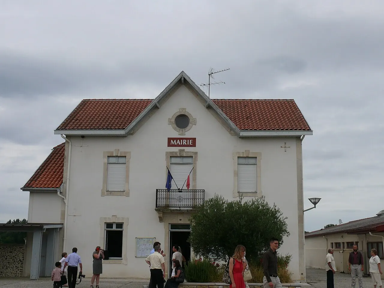
Saint-Cricq-du-Gave
À 2,6 km · 2 lieux
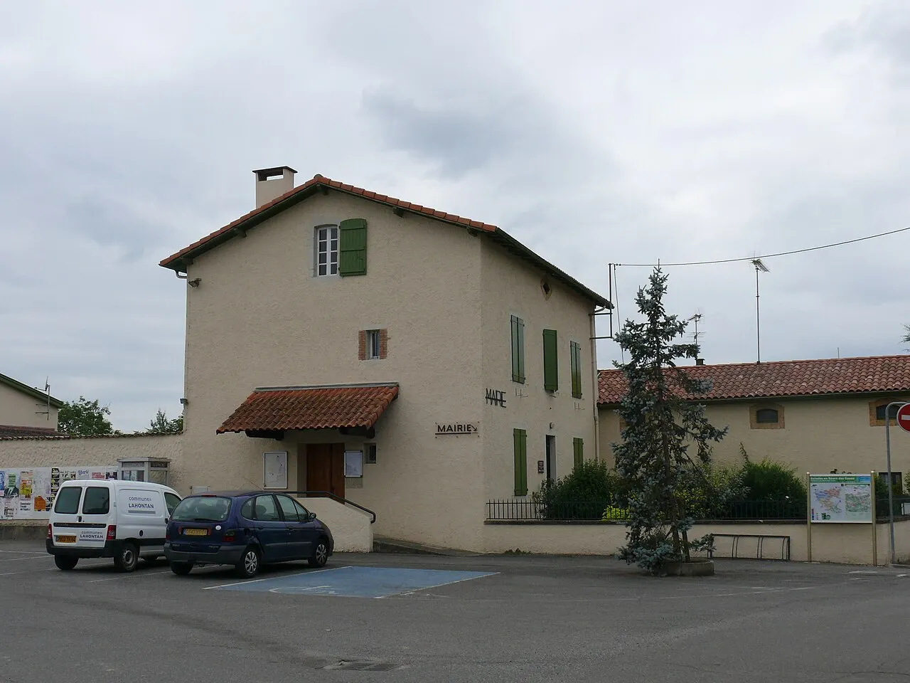
Lahontan
À 3,3 km · 6 lieux
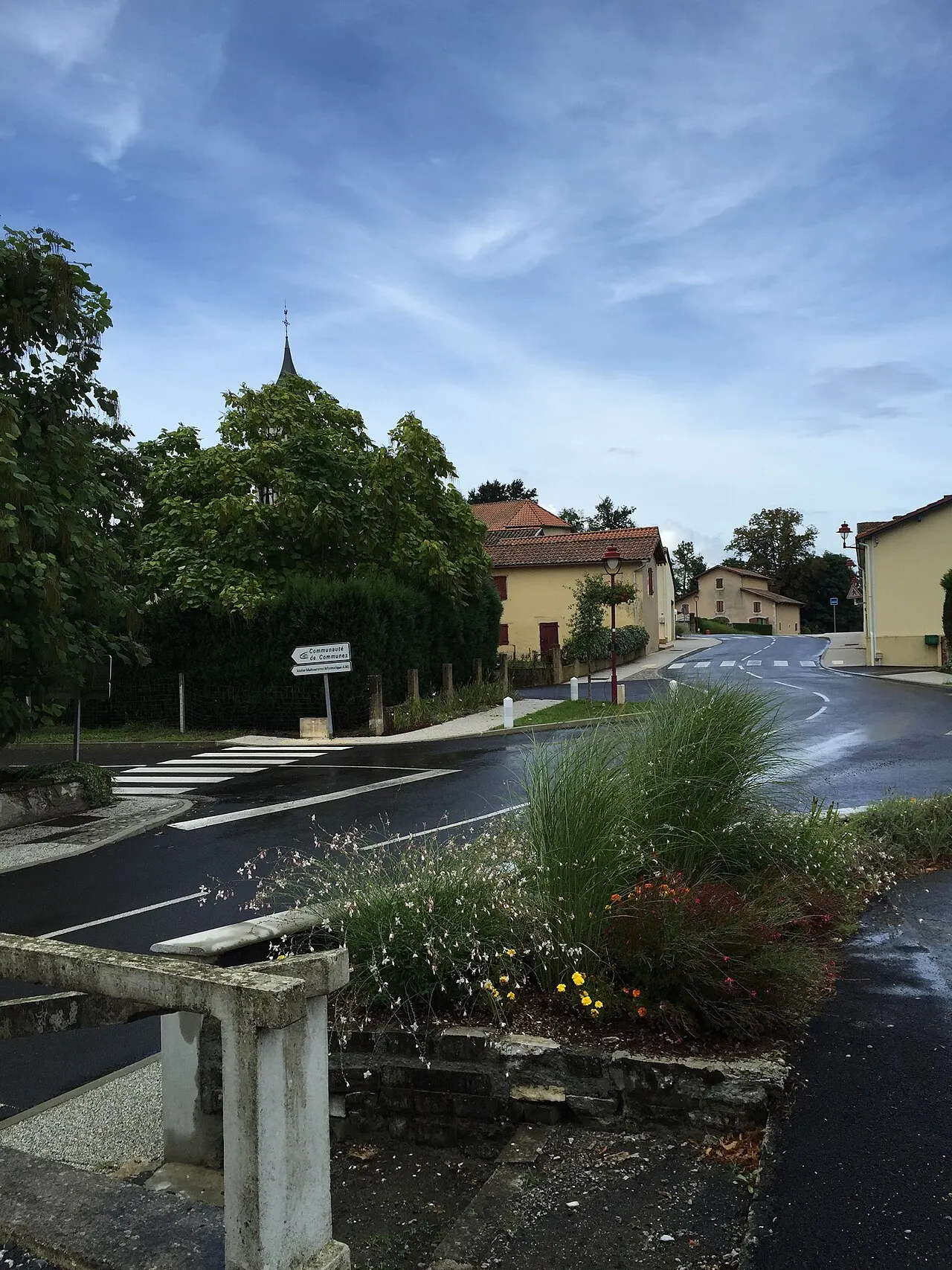
Misson
À 4,7 km · 3 lieux
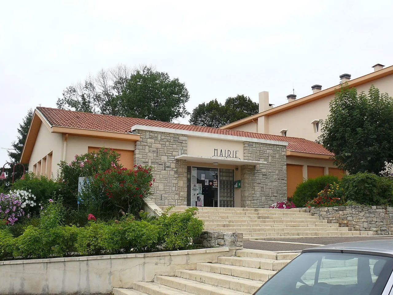
Habas
À 5,3 km · 8 lieux
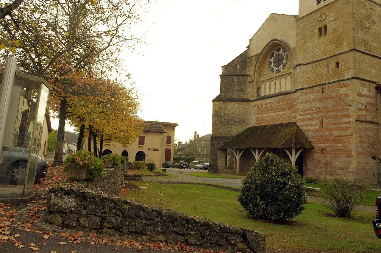
Sorde-l'Abbaye
À 5,7 km · 10 lieux
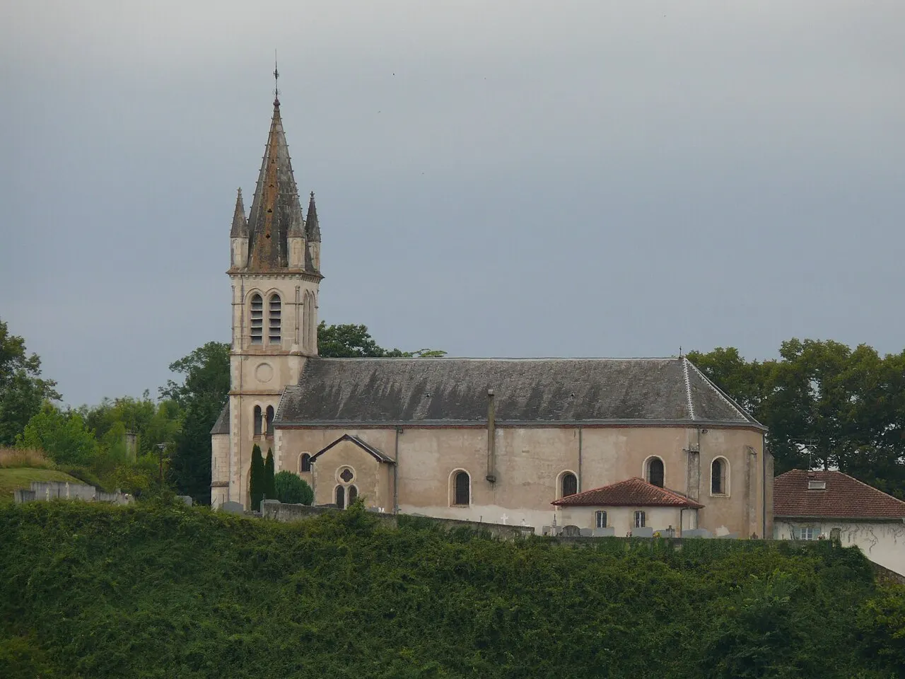
Cauneille
À 5,9 km · 7 lieux

Pouillon
À 6,0 km · 26 lieux
Léren
À 6,8 km · 1 lieu
En chiffres
Comparé aux communes qui lui ressemblent
le m²
travaillent dans leur commune
Vivre à Labatut
Saveurs du terroir
- Asperge des Sables des Landes IGP
- Bœuf de Chalosse IGP
- Canard à foie gras du Sud-Ouest IGP
- Canard à foie gras du Sud-Ouest Chalosse IGP
- Canard à foie gras du Sud-Ouest Gascogne IGP
- Canard à foie gras du Sud-Ouest Landes IGP
- Caviar d'Aquitaine IGP
- Comté Tolosan IGP
- Comté tolosan Bigorre IGP
- Comté tolosan Cantal IGP
- Comté tolosan Coteaux et Terrasses de Montauban IGP
- Comté tolosan Haute-Garonne IGP
- Comté tolosan Pyrénées Atlantiques IGP
- Comté tolosan Tarn et Garonne IGP
- et 11 autres
Y aller sans voiture
Questions fréquentes
Combien d'habitants compte Labatut ?
Labatut compte 1 430 habitants (population légale 2023), soit 67 habitants au km².
Quel est le code postal de Labatut ?
Le code postal de Labatut est 40300
Que voir à Labatut ?
Parmi les 7 lieux recensés : Église Saint-Romain, Ganadéria Grenet, Lac de Saint Cricq du Gave.
Sources et crédits
Données
- Lieux et tracés : OpenStreetMap (© les contributeurs d'OpenStreetMap, ODbL), DATAtourisme et ses producteurs (Licence Ouverte), base Mérimée, Wikidata.
- Cartes et affiches : calcul 123-fr d'après l'IGN (BD TOPO, RGE ALTI 5 m, Admin Express), Licence Ouverte. Population : INSEE.
- Comparaisons : DGFiP, DVF, ventes de juillet 2020 à juin 2025.
- Comparaisons : Ministère de l'Intérieur, présidentielles 2017 et 2022.
- Comparaisons : INSEE, recensement 2022.
- Équipements sportifs : ministère des Sports, recensement des équipements sportifs (data.gouv.fr), Licence Ouverte.
- Eau du robinet : ministère de la Santé, contrôle sanitaire de l'eau (Hub'Eau, data.gouv.fr), Licence Ouverte.
- Fibre : ARCEP, « Ma connexion internet », Licence Ouverte.
- Loyers : ministère de la Transition écologique, carte des loyers d'annonce (data.gouv.fr), Licence Ouverte. Loyers d'annonces modélisés : ni bail en cours ni logement précis.
- Finances : DGFiP, comptes individuels des communes (data.economie.gouv.fr), Licence Ouverte.
- Produits d'origine protégée : INAO, données publiées sur data.gouv.fr (9 octobre 2025), Licence Ouverte. Dans l'aire ne veut pas dire fabriqué ici : seuls les cahiers des charges font foi.
- Sites naturels : MNHN / INPN (PatriNat), ZNIEFF 06/2025, Natura 2000 12/2024, Licence Ouverte.
- Trains : SNCF, horaires et gares de voyageurs (ODbL), calcul 123-fr.
- Mairie : annuaire de l'administration (DILA). Écoles : annuaire de l'Éducation nationale.
À savoir
- Horaires et tarifs ne sont pas vérifiés par 123-fr : voyez le site de chaque lieu avant de partir.
- Un monument protégé n'est pas toujours ouvert à la visite.
Photos
- This illustration was made by Peter Potrowl. Please credit this with : © Peter Potrowl in the immediate vicinity of the image. A link to my website sitemai.eu would be much appreciated but isn't mandatory. An email to Peter Potrowl would be appreciated too. Do not copy this image illegally by ignoring the terms of the license below, as it is not in the public domain. If you would like special perm, CC BY-SA 4.0, Wikimedia Commons (Labatut - Mairie - 1).
- This illustration was made by Peter Potrowl. Please credit this with : © Peter Potrowl in the immediate vicinity of the image. A link to my website sitemai.eu would be much appreciated but isn't mandatory. An email to Peter Potrowl would be appreciated too. Do not copy this image illegally by ignoring the terms of the license below, as it is not in the public domain. If you would like special perm, CC BY-SA 4.0, Wikimedia Commons (Labatut - Église Saint-Romain - 1).
- This illustration was made by Peter Potrowl. Please credit this with : © Peter Potrowl in the immediate vicinity of the image. A link to my website sitemai.eu would be much appreciated but isn't mandatory. An email to Peter Potrowl would be appreciated too. Do not copy this image illegally by ignoring the terms of the license below, as it is not in the public domain. If you would like special perm, CC BY-SA 3.0, Wikimedia Commons (Saint-Cricq-du-Gave - Mairie).
- This illustration was made by Peter Potrowl. Please credit this with : © Peter Potrowl in the immediate vicinity of the image. A link to my website sitemai.eu would be much appreciated but isn't mandatory. An email to Peter Potrowl would be appreciated too. Do not copy this image illegally by ignoring the terms of the license below, as it is not in the public domain. If you would like special perm, CC BY-SA 3.0, Wikimedia Commons (Lahontan - Mairie).
- Cecilemin, CC BY-SA 4.0, Wikimedia Commons (Misson centre).
- This illustration was made by Peter Potrowl. Please credit this with : © Peter Potrowl in the immediate vicinity of the image. A link to my website sitemai.eu would be much appreciated but isn't mandatory. An email to Peter Potrowl would be appreciated too. Do not copy this image illegally by ignoring the terms of the license below, as it is not in the public domain. If you would like special perm, CC BY-SA 3.0, Wikimedia Commons (Habas - Mairie).
- Traumrune, CC BY-SA 3.0, Wikimedia Commons (Sorde-l'Abbaye-eglise-ext 09).
- This illustration was made by Peter Potrowl. Please credit this with : © Peter Potrowl in the immediate vicinity of the image. A link to my website sitemai.eu would be much appreciated but isn't mandatory. An email to Peter Potrowl would be appreciated too. Do not copy this image illegally by ignoring the terms of the license below, as it is not in the public domain. If you would like special perm, CC BY-SA 3.0, Wikimedia Commons (Cauneille - Église Saint-Pierre - 3).
- Ghislain118, CC BY-SA 3.0, Wikimedia Commons (Eglise de Pouillon).
- This illustration was made by Peter Potrowl. Please credit this with : © Peter Potrowl in the immediate vicinity of the image. A link to my website sitemai.eu would be much appreciated but isn't mandatory. An email to Peter Potrowl would be appreciated too. Do not copy this image illegally by ignoring the terms of the license below, as it is not in the public domain. If you would like special perm, CC BY-SA 4.0, Wikimedia Commons (Léren - Église Saint-Vincent de Lassalle - 3).


